Reservoir · Telangana · India · Telangana I&CAD
Singur
Singur Dam
51.8% of live capacity
Gross capacity
30.4 TMC (860 MCM)
Live capacity
26.9 TMC (761 MCM)
River
Manjeera
Basin
Godavari
Primary use
water supply
Operator
TS
Coordinates
17.758°N, 78.208°E
Last updated
2026-10-29
Capacity in TMC
Singur Dam has a gross capacity of 30.4 TMC (860 MCM), of which 26.9 TMC (761 MCM) is live storage; it is currently at 51.8% of live capacity, holding 13.9 TMC (394 MCM).
- Gross capacity
- 30.4 TMC (860 MCM)
- Live capacity
- 26.9 TMC (761 MCM)
- Current storage
- 13.9 TMC (394 MCM)
TMC is thousand million cubic feet, the unit used in Indian water reporting. 1 TMC = 28.3168 million cubic metres (MCM). Figures are converted from Telangana I&CAD, which publishes million cubic metres. The percentage is labelled live or gross only when the stored volume matches that capacity.
Current fill
51.8%vs 7 days ago
+40.7 ppgaining
vs 1 year ago
N/A7-day trend
↑rising
Drought context
Rain over the last three months · 11 October 2026
Moderately dry
In the three months to 11 October 2026 the area around Singur had well below normal rain, a shortfall seen about one year in six. Rainfall compared with the long-run record for the same season at this point (Copernicus Global Drought Observatory, SPI-3 index −1.04). Rain, not storage. India drought figures →
Weekly storage
Fill history — multi-year
About this reservoir
Data source
official
Storage data: Telangana I&CAD.
Catchment Weather
Past 30 days + 14-day forecast · Open-Meteo
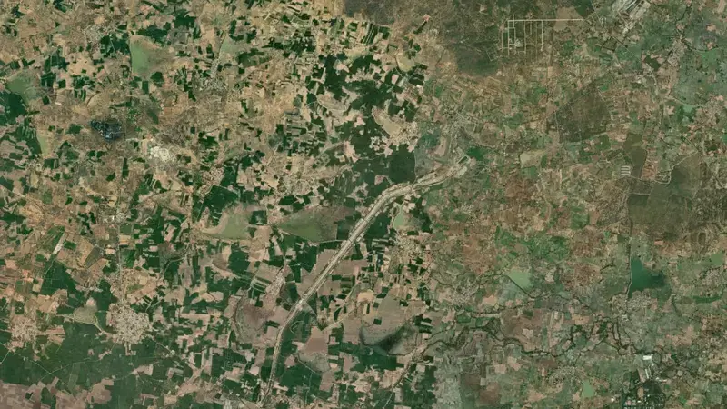
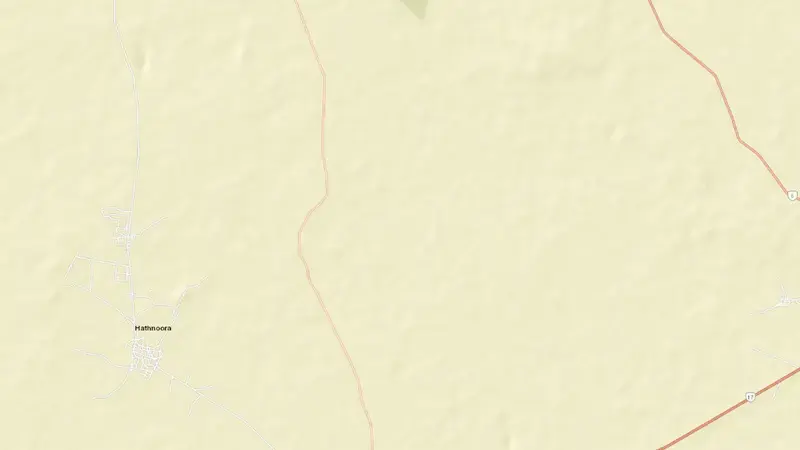
Satellite imagery: Esri, Maxar, Earthstar Geographics. Map: Esri, HERE, Garmin, © OpenStreetMap contributors. 17.758°N, 78.208°E · Open in Google Maps
About Singur Dam
As of October 29, 2026, Singur Dam is at 51.8% of useful capacity, holding 13.9 TMC (394 MCM) of 26.9 TMC (761 MCM). Of the gross 30.4 TMC (860 MCM), that is 45.8%. At this level the reservoir is within its normal operating range.
Over the most recent week on record the fill level has risen by 40.7 percentage points.
Across the readings we hold for Singur Dam — 25 data points between June 25, 2026 and October 29, 2026 — the level has ranged from a low of 0.0% (October 23, 2026) to a high of 51.8% (October 29, 2026).
It is operated by TS primarily for water supply. It lies within the Godavari basin at 17.758°N, 78.208°E.
Key facts
- Current fill level
- 51.8% of useful capacity
- Water stored
- 13.9 TMC (394 MCM)
- Total capacity
- 30.4 TMC (860 MCM)
- Usable capacity
- 26.9 TMC (761 MCM)
- 7-day change
- ▲ 40.7 pp
- Primary use
- Water supply
- River
- Manjeera
- River basin
- Godavari
- Operator
- TS
- Coordinates
- 17.758°N, 78.208°E
- Last updated
- October 29, 2026
Recent readings
| Date | Fill level | Volume (hm³) |
|---|---|---|
| 29 Oct 2026 | 51.8% | 394 |
| 28 Oct 2026 | 0.0% | 0 |
| 23 Oct 2026 | 0.0% | 0 |
| 22 Oct 2026 | 11.1% | 91 |
| 15 Oct 2026 | 11.9% | 98 |
| 8 Oct 2026 | 13.5% | 111 |
| 1 Oct 2026 | 13.8% | 113 |
| 24 Sep 2026 | 14.2% | 116 |
| 17 Sep 2026 | 3.2% | 24 |
| 10 Sep 2026 | 15.3% | 126 |
| 3 Sep 2026 | 15.6% | 128 |
| 28 Aug 2026 | 4.3% | 33 |