
Reservoir · New South Wales · Australia · BOM Water Data Online
Jounama Pondage
Current fill: N/A
Capacity
43.8 hm³
Volume stored
N/A
River
Tumut River
Year completed
1968
Coordinates
35.579°S, 148.298°E
Not currently reporting
The most recent reading for this reservoir is from 2026-06-24, more than 45 days ago, so the current fill is shown as N/A. The history below reflects that older reading.
Current fill
N/Avs 7 days ago
N/Avs 1 year ago
N/A7-day trend
N/AData source: Bureau of Meteorology — Water Data Online (KiWIS) — daily mean storage volume, quality-controlled. Capacity from the BOM Water Storages ArcGIS layer (total design capacity in ML).
Catchment Weather
Past 30 days + 14-day forecast · Open-Meteo
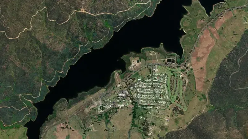
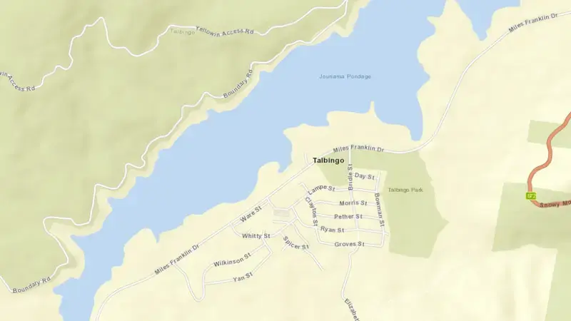
Satellite imagery: Esri, Maxar, Earthstar Geographics. Map: Esri, HERE, Garmin, © OpenStreetMap contributors. -35.579, 148.298 · Open in Google Maps
About Jounama Pondage
The dam at Jounama Pondage was completed in 1968. It is operated by BOM primarily for water supply. It lies within the Tumut River Basin basin at 35.579°S, 148.298°E.
Key facts
- Total capacity
- 44 hm³
- Usable capacity
- 31 hm³
- Primary use
- Water supply
- River
- Tumut River
- River basin
- Tumut River Basin
- Year completed
- 1968
- Operator
- BOM
- Coordinates
- 35.579°S, 148.298°E
Recent readings
| Date | Fill level | Volume (hm³) |
|---|---|---|
| 24 Jun 2026 | 65.8% | 29 |
| 23 Jun 2026 | 62.8% | 28 |
| 22 Jun 2026 | 67.3% | 29 |
| 21 Jun 2026 | 69.2% | 30 |
| 20 Jun 2026 | 74.3% | 33 |
| 19 Jun 2026 | 79.4% | 35 |
| 18 Jun 2026 | 80.5% | 35 |
| 17 Jun 2026 | 80.2% | 35 |
| 16 Jun 2026 | 72.7% | 32 |
| 15 Jun 2026 | 72.2% | 32 |
| 14 Jun 2026 | 66.3% | 29 |
| 13 Jun 2026 | 72.9% | 32 |