
Reservoir · New South Wales · Australia · BOM Water Data Online
Tumut 2
Current fill: N/A
Capacity
2.7 hm³
Volume stored
N/A
River
Tumut River
Year completed
1961
Coordinates
35.932°S, 148.360°E
Not currently reporting
The most recent reading for this reservoir is from 2026-06-24, more than 45 days ago, so the current fill is shown as N/A. The history below reflects that older reading.
Current fill
N/Avs 7 days ago
N/Avs 1 year ago
N/A7-day trend
N/AData source: Bureau of Meteorology — Water Data Online (KiWIS) — daily mean storage volume, quality-controlled. Capacity from the BOM Water Storages ArcGIS layer (total design capacity in ML).
Catchment Weather
Past 30 days + 14-day forecast · Open-Meteo
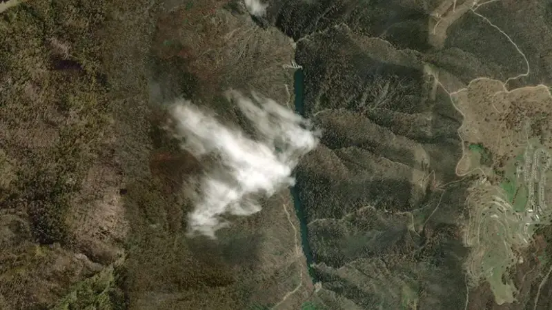
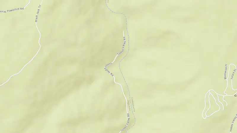
Satellite imagery: Esri, Maxar, Earthstar Geographics. Map: Esri, HERE, Garmin, © OpenStreetMap contributors. -35.932, 148.360 · Open in Google Maps
About Tumut 2
The dam at Tumut 2 was completed in 1961. It is operated by BOM primarily for water supply. It lies within the Tumut River Basin basin at 35.932°S, 148.360°E.
Key facts
- Total capacity
- 3 hm³
- Usable capacity
- 2 hm³
- Primary use
- Water supply
- River
- Tumut River
- River basin
- Tumut River Basin
- Year completed
- 1961
- Operator
- BOM
- Coordinates
- 35.932°S, 148.360°E
Recent readings
| Date | Fill level | Volume (hm³) |
|---|---|---|
| 24 Jun 2026 | 81.4% | 2 |
| 23 Jun 2026 | 82.2% | 2 |
| 22 Jun 2026 | 83.9% | 2 |
| 21 Jun 2026 | 83.2% | 2 |
| 20 Jun 2026 | 82.4% | 2 |
| 19 Jun 2026 | 82.7% | 2 |
| 18 Jun 2026 | 68.6% | 2 |
| 17 Jun 2026 | 61.4% | 2 |
| 16 Jun 2026 | 78.2% | 2 |
| 15 Jun 2026 | 81.1% | 2 |
| 14 Jun 2026 | 79.8% | 2 |
| 13 Jun 2026 | 79.0% | 2 |