Reservoir · Texas · United States · TWDB
Arbuckle Reservoir
82.0% full
Capacity
51.33 hm³
Volume stored
42 hm³
Reported
November 20, 2026
Current fill
82.0%vs 7 days ago
-6.4 pplosing
vs 1 year ago
N/A7-day trend
↓falling
Drought context
Texas drought →U.S. Drought Monitor
D1Moderate drought
Week of 17 November 2026
Drought figures describe the ground around the reservoir, not its storage. Sources: U.S. Drought Monitor.
Recent readings
| Date | Fill level | Volume (hm³) |
|---|---|---|
| 20 Nov 2026 | 82.0% | 42.1 |
| 19 Nov 2026 | 83.4% | 42.8 |
| 18 Nov 2026 | 85.7% | 43.98 |
| 17 Nov 2026 | 87.8% | 45.08 |
| 16 Nov 2026 | 88.5% | 45.42 |
| 15 Nov 2026 | 88.5% | 45.41 |
| 14 Nov 2026 | 88.4% | 45.35 |
| 13 Nov 2026 | 88.4% | 45.38 |
| 12 Nov 2026 | 88.5% | 45.41 |
| 11 Nov 2026 | 88.7% | 45.52 |
| 10 Nov 2026 | 90.1% | 46.24 |
| 9 Nov 2026 | 92.0% | 47.24 |
On the map
Zoom out for the other countries we track · click one to open itLoading map…
Technical specifications
| Primary use | Multi-purpose |
| Coordinates | 29.197°N, 96.043°W |
Data source: Texas Water Development Board (Water Data for Texas) — daily reservoir storage volume. Design capacity is unavailable for this site, so fill % is estimated against the 5-year maximum storage and may overstate fullness. Last reading: 2026-11-20.
Catchment Weather
Past 30 days + 14-day forecast · Open-Meteo
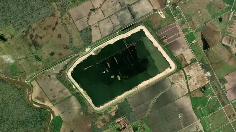
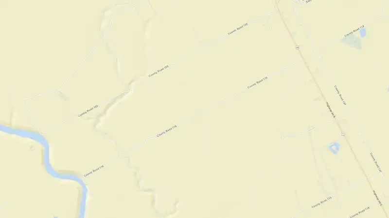
Satellite imagery: Esri, Maxar, Earthstar Geographics. Map: Esri, HERE, Garmin, © OpenStreetMap contributors. 29.197°N, 96.043°W · Open in Google Maps
About Arbuckle Reservoir
As of November 20, 2026, Arbuckle Reservoir is filled to 82.0% of its total capacity, holding 42.1 hm³ of water out of a maximum 51.33 hm³. At this level the reservoir is high.
Over the most recent week on record the fill level has fallen by 6.4 percentage points.
Across the readings we hold for Arbuckle Reservoir — 19 data points between November 2, 2026 and November 20, 2026 — the level has ranged from a low of 82.0% (November 20, 2026) to a high of 97.1% (November 2, 2026).
It is operated by TWDB primarily for multiple purposes. It is at 29.197°N, 96.043°W.