
Reservoir · Tamil Nadu · India · CWC
Shenbagathope
Gross capacity
0.28 TMC (8 MCM)
Live capacity
0.28 TMC (8 MCM)
River
Palar
Basin
Palar
Primary use
irrigation
Operator
Tamil Nadu Water Resources Dept
Coordinates
12.646°N, 79.068°E
Capacity in TMC
Shenbagathope Dam has a gross capacity of 0.28 TMC (8 MCM).
- Gross capacity
- 0.28 TMC (8 MCM)
- Live capacity
- 0.28 TMC (8 MCM)
TMC is thousand million cubic feet, the unit used in Indian water reporting. 1 TMC = 28.3168 million cubic metres (MCM). Figures are converted from the Central Water Commission bulletin, which publishes million cubic metres.
Fill history — multi-year
About this reservoir
Data source
official
Storage data: CWC (Central Water Commission) Weekly Storage Bulletin, India.
Catchment Weather
Past 30 days + 14-day forecast · Open-Meteo
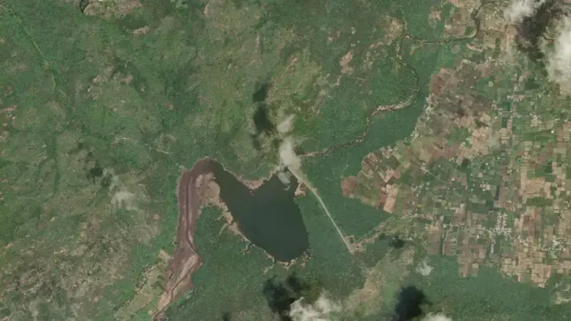
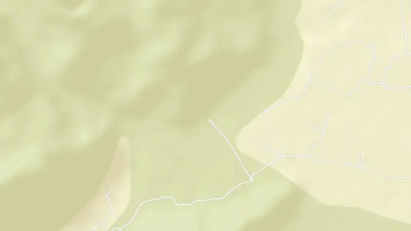
Satellite imagery: Esri, Maxar, Earthstar Geographics. Map: Esri, HERE, Garmin, © OpenStreetMap contributors. 12.646, 79.068 · Open in Google Maps
About Shenbagathope
It is operated by Tamil Nadu Water Resources Dept primarily for irrigation. It lies within the Palar basin at 12.646°N, 79.068°E.
Key facts
- Total capacity
- 0.28 TMC (8 MCM)
- Primary use
- Irrigation
- River
- Palar
- River basin
- Palar
- Operator
- Tamil Nadu Water Resources Dept
- Coordinates
- 12.646°N, 79.068°E
Recent readings
| Date | Fill level | Volume (hm³) |
|---|---|---|
| 1 Jun 2026 | 15.1% | 1 |