
Reservoir · Arizona · United States · USGS NWIS
Saguaro Lake
96.5% full
Capacity
86.05 hm³
Volume stored
83 hm³
Vs month average
103% of normal
Coordinates
33.566°N, 111.536°W
Last updated
2026-10-13
Current fill
96.5%vs 7 days ago
+0.9%gaining
vs 1 year ago
-0.8%year-over-year
7-day trend
→stable
Drought context
Storage vs October average
103%of normal
96.5% full on 2026-10-13, against an average of 94.0% for October across 4 years of readings (+2.5 points).
Drought Monitor at this site · 6 October 2026
D0abnormally dry
The ground at Saguaro Lake's coordinates falls inside the D0 area of the weekly U.S. Drought Monitor map. That describes local conditions — rainfall, soil moisture, streamflow — not the reservoir's storage. Arizona drought figures →
Data source: USGS National Water Information System (NWIS) — daily reservoir storage volume. Design capacity is unavailable for this site, so fill % is estimated against the 5-year maximum storage and may overstate fullness. Last reading: 2026-10-13.
Catchment Weather
Past 30 days + 14-day forecast · Open-Meteo
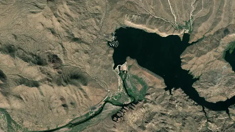
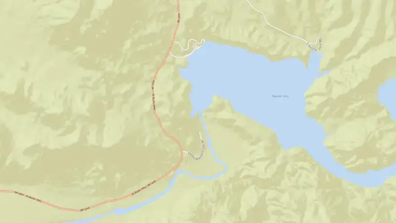
Satellite imagery: Esri, Maxar, Earthstar Geographics. Map: Esri, HERE, Garmin, © OpenStreetMap contributors. 33.566, -111.536 · Open in Google Maps
About Saguaro Lake
As of October 13, 2026, Saguaro Lake is filled to 96.5% of its total capacity, holding roughly 83 hm³ of water out of a maximum 86 hm³. At this level the reservoir is high.
Over the most recent week on record the fill level has held broadly steady (+0.9 pts), and it sits close to where it was a year earlier.
Across the readings we hold for Saguaro Lake — 1169 data points between August 2, 2023 and October 13, 2026 — the level has ranged from a low of 89.5% (May 30, 2024) to a high of 98.9% (May 20, 2025). On average the reservoir is fullest around July and at its lowest around December.
It is operated by SRP primarily for multiple purposes. It lies within the Salt River basin at 33.566°N, 111.536°W.
Key facts
- Current fill level
- 96.5%
- Water stored
- 83 hm³
- Total capacity
- 86 hm³
- 7-day change
- ▲ 0.9 pts
- Year-on-year
- ▼ 0.8 pts
- Primary use
- Multipurpose
- River
- Salt River
- River basin
- Salt River
- Operator
- SRP
- Coordinates
- 33.566°N, 111.536°W
- Last updated
- October 13, 2026
Recent readings
| Date | Fill level | Volume (hm³) |
|---|---|---|
| 13 Oct 2026 | 96.5% | 83 |
| 12 Oct 2026 | 96.6% | 83 |
| 11 Oct 2026 | 96.7% | 83 |
| 10 Oct 2026 | 96.2% | 83 |
| 9 Oct 2026 | 96.2% | 83 |
| 8 Oct 2026 | 96.1% | 83 |
| 7 Oct 2026 | 95.8% | 82 |
| 6 Oct 2026 | 95.6% | 82 |
| 5 Oct 2026 | 95.4% | 82 |
| 4 Oct 2026 | 95.2% | 82 |
| 3 Oct 2026 | 95.0% | 82 |
| 2 Oct 2026 | 95.0% | 82 |