Reservoir · California · United States · CDEC
FRENCH MEADOWS
42.4% full
Capacity
165.29 hm³
Volume stored
70 hm³
Vs month average
81% of normal
Reported
November 12, 2026
Current fill
42.4%vs 7 days ago
-3.1 pplosing
vs 1 year ago
-15.2 ppyear-over-year
7-day trend
↓falling
Drought context
California drought →Storage vs November average
81%of normal
42.4% now · 52.3% average (6 yrs)
U.S. Drought Monitor
D0Abnormally dry
Week of 10 November 2026
Drought figures describe the ground around the reservoir, not its storage. Sources: U.S. Drought Monitor.
Recent readings
| Date | Fill level | Volume (hm³) |
|---|---|---|
| 12 Nov 2026 | 42.4% | 70.15 |
| 11 Nov 2026 | 42.9% | 70.87 |
| 10 Nov 2026 | 43.3% | 71.52 |
| 9 Nov 2026 | 43.8% | 72.35 |
| 8 Nov 2026 | 44.3% | 73.18 |
| 7 Nov 2026 | 44.7% | 73.89 |
| 6 Nov 2026 | 45.1% | 74.47 |
| 5 Nov 2026 | 45.5% | 75.22 |
| 4 Nov 2026 | 46.0% | 76.07 |
| 3 Nov 2026 | 46.5% | 76.94 |
| 2 Nov 2026 | 47.3% | 78.19 |
| 1 Nov 2026 | 47.9% | 79.2 |
On the map
Zoom out for the other countries we track · click one to open itLoading map…
Technical specifications
| Primary use | Multi-purpose |
| Coordinates | 39.112°N, 120.468°W |
Data source: CDEC — California Dept of Water Resources — daily reservoir storage volume. Capacity is the design (normal full-pool) capacity from the US National Inventory of Dams (NID); fill % = current volume ÷ design capacity. Last reading: 2026-11-12.
Catchment Weather
Past 30 days + 14-day forecast · Open-Meteo
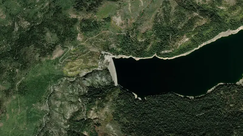
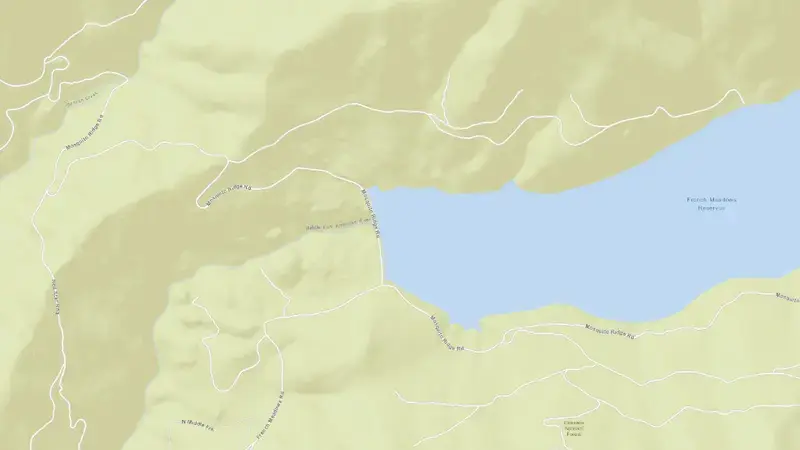
Satellite imagery: Esri, Maxar, Earthstar Geographics. Map: Esri, HERE, Garmin, © OpenStreetMap contributors. 39.112°N, 120.468°W · Open in Google Maps
About FRENCH MEADOWS
As of November 12, 2026, FRENCH MEADOWS is filled to 42.4% of its total capacity, holding 70.15 hm³ of water out of a maximum 165.29 hm³. At this level the reservoir is within its normal operating range.
Over the most recent week on record the fill level has fallen by 3.1 percentage points, and it is 15.2 points below its level on the same date a year earlier.
Across the readings we hold for FRENCH MEADOWS — 1822 data points between November 14, 2021 and November 12, 2026 — the level has ranged from a low of 36.4% (January 20, 2022) to a high of 99.7% (May 25, 2023). On average the reservoir is fullest around June and at its lowest around December.
It is operated by CDEC primarily for multiple purposes. It is at 39.112°N, 120.468°W.