
Reservoir · Minnesota · United States · USACE CWMS
Cross Lake
Current fill: N/A
Capacity
125 hm³
Volume stored
N/A
Coordinates
46.668°N, 94.112°W
Station not currently reporting
The most recent storage reading from this gauge is from 2022-04-28, more than 45 days ago, so the current fill is shown as N/A. The history below reflects that older reading.
Current fill
N/Avs 7 days ago
N/Avs 1 year ago
N/A7-day trend
N/AData source: USACE CWMS — US Army Corps of Engineers — daily reservoir storage volume. Capacity is the design (normal full-pool) capacity from the US National Inventory of Dams (NID); fill % = current volume ÷ design capacity.
Catchment Weather
Past 30 days + 14-day forecast · Open-Meteo
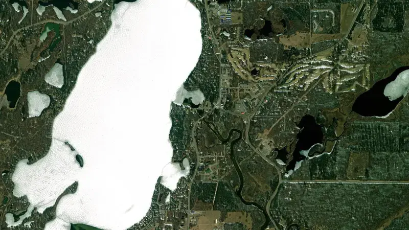
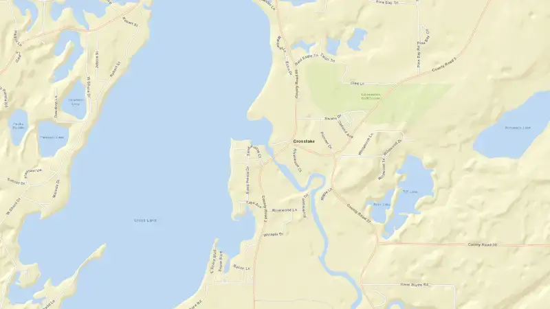
Satellite imagery: Esri, Maxar, Earthstar Geographics. Map: Esri, HERE, Garmin, © OpenStreetMap contributors. 46.668, -94.112 · Open in Google Maps
About Cross Lake
It is operated by USACE primarily for multiple purposes. It lies within the Minnesota basin at 46.668°N, 94.112°W.
Key facts
- Total capacity
- 125 hm³
- Primary use
- Multipurpose
- River basin
- Minnesota
- Operator
- USACE
- Coordinates
- 46.668°N, 94.112°W
Recent readings
| Date | Fill level | Volume (hm³) |
|---|---|---|
| 28 Apr 2022 | 103.4% | 129 |
| 27 Apr 2022 | 103.4% | 129 |
| 26 Apr 2022 | 102.4% | 128 |
| 25 Apr 2022 | 101.4% | 127 |
| 24 Apr 2022 | 100.5% | 126 |
| 23 Apr 2022 | 98.8% | 123 |
| 22 Apr 2022 | 97.8% | 122 |
| 21 Apr 2022 | 97.2% | 121 |
| 20 Apr 2022 | 96.6% | 121 |
| 19 Apr 2022 | 95.5% | 119 |
| 18 Apr 2022 | 95.1% | 119 |
| 17 Apr 2022 | 94.1% | 118 |