
Dam · Western Cape · South Africa · DWS
Steenbras-Lower Dam
51.3% full
Total capacity
33.9 Mm³
River
Steenbras
Basin
Berg-Breede
Primary use
water supply
Operator
City of Cape Town
Coordinates
-34.183°S, 18.867°E
Last updated
2026-08-31
Current fill
51.3%vs 7 days ago
+1.7%gaining
vs 1 year ago
N/A7-day trend
↑rising
Weekly storage
Fill history — multi-year
About this dam
Dam height
53 m
Year built
1921
Dam type
Gravity
Data source
official
Storage data: Department of Water and Sanitation (DWS) Weekly State of Dams report, South Africa.
Catchment Weather
Past 30 days + 14-day forecast · Open-Meteo
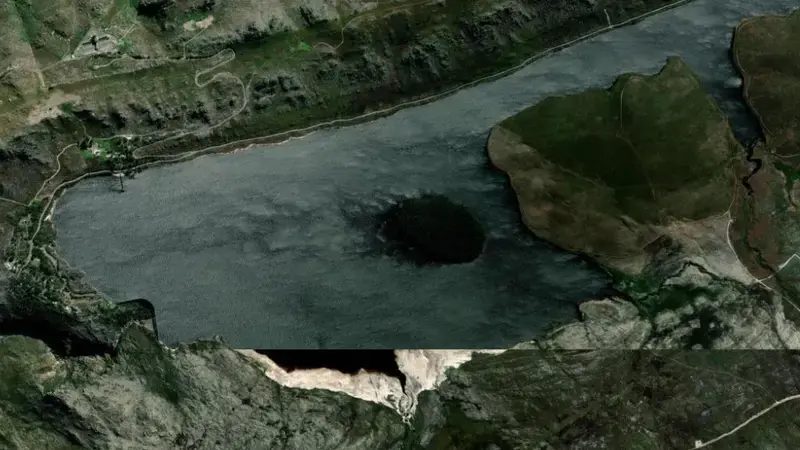
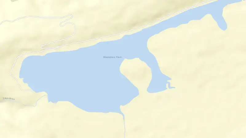
Satellite imagery: Esri, Maxar, Earthstar Geographics. Map: Esri, HERE, Garmin, © OpenStreetMap contributors. -34.183, 18.867 · Open in Google Maps
About Steenbras-Lower Dam
As of August 31, 2026, Steenbras-Lower Dam is filled to 51.3% of its total capacity, holding roughly 17 Mm³ of water out of a maximum 34 Mm³. At this level the reservoir is within its normal operating range.
Over the most recent week on record the fill level has risen by 1.7 percentage points.
Across the readings we hold for Steenbras-Lower Dam — 15 data points between May 31, 2026 and August 31, 2026 — the level has ranged from a low of 47.0% (June 29, 2026) to a high of 54.2% (July 6, 2026).
The dam at Steenbras-Lower Dam stands 53 m tall and is a gravity dam and was completed in 1921. It is operated by City of Cape Town primarily for water supply. It lies within the Berg-Breede basin at 34.183°S, 18.867°E.
Key facts
- Current fill level
- 51.3%
- Water stored
- 17 Mm³
- Total capacity
- 34 Mm³
- 7-day change
- ▲ 1.7 pts
- Primary use
- Water supply
- River
- Steenbras
- River basin
- Berg-Breede
- Dam height
- 53 m
- Year completed
- 1921
- Operator
- City of Cape Town
- Coordinates
- 34.183°S, 18.867°E
- Last updated
- August 31, 2026
Recent readings
| Date | Fill level | Volume (Mm³) |
|---|---|---|
| 31 Aug 2026 | 51.3% | 17 |
| 24 Aug 2026 | 49.6% | 17 |
| 17 Aug 2026 | 51.2% | 17 |
| 10 Aug 2026 | 52.0% | 18 |
| 3 Aug 2026 | 52.3% | 18 |
| 27 Jul 2026 | 54.2% | 18 |
| 6 Jul 2026 | 54.2% | 18 |
| 29 Jun 2026 | 47.0% | 16 |
| 22 Jun 2026 | 47.8% | 16 |
| 16 Jun 2026 | 47.7% | 16 |
| 9 Jun 2026 | 47.7% | 16 |
| 8 Jun 2026 | 50.7% | 17 |
Nearby reservoirs
See also: South Africa dam levels, explained — how the DWS Weekly State of Dams report becomes the national and provincial figures.