Dam · Eastern Cape · South Africa · DWS
Nuwejaars Dam
101.7% full
Total capacity
4.6 hm³
River
Nuwejaarspruit River
Basin
Mzimvubu-Tsitsikamma
Primary use
water supply
Operator
DWS South Africa
Coordinates
33.303°S, 26.113°E
Last updated
2026-10-19
Current fill
101.7%vs 7 days ago
0.0 ppstable
vs 1 year ago
+44.4 ppyear-over-year
7-day trend
→stable
Drought context
Rain over the last three months · 11 October 2026
Moderately wet
In the three months to 11 October 2026 the area around Nuwejaars Dam had more rain than normal for the season. Rainfall compared with the long-run record for the same season at this point (Copernicus Global Drought Observatory, SPI-3 index +1.49). Rain, not storage. South Africa drought figures →
Weekly storage
Fill history — multi-year
About this dam
Data source
official
Storage data: Department of Water and Sanitation (DWS) Weekly State of Dams report, South Africa.
Catchment Weather
Past 30 days + 14-day forecast · Open-Meteo
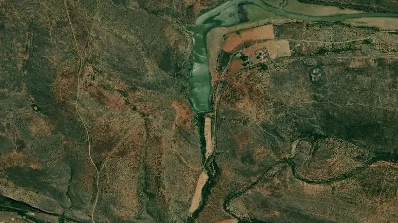
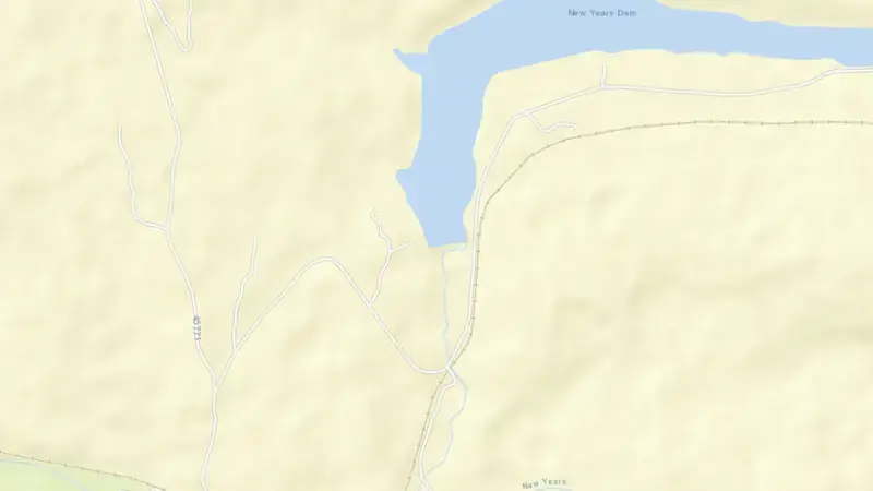
Satellite imagery: Esri, Maxar, Earthstar Geographics. Map: Esri, HERE, Garmin, © OpenStreetMap contributors. 33.303°S, 26.113°E · Open in Google Maps
About Nuwejaars Dam
As of October 19, 2026, Nuwejaars Dam is filled to 101.7% of its total capacity, holding 4.7 hm³ of water out of a maximum 4.6 hm³. At this level the reservoir is effectively full.
Over the most recent week on record the fill level has held broadly steady (+0.0 pp), and it is 44.4 points above its level on the same date a year earlier.
Across the readings we hold for Nuwejaars Dam — 20 data points between October 19, 2025 and October 19, 2026 — the level has ranged from a low of 57.3% (October 19, 2025) to a high of 104.1% (June 9, 2026). On average the reservoir is fullest around July and at its lowest around October.
It is operated by DWS South Africa primarily for water supply. It lies within the Mzimvubu-Tsitsikamma basin at 33.303°S, 26.113°E.
Key facts
- Current fill level
- 101.7% of total capacity
- Water stored
- 4.7 hm³
- Total capacity
- 4.6 hm³
- 7-day change
- No change
- Year-on-year
- ▲ 44.4 pp
- Primary use
- Water supply
- River
- Nuwejaarspruit River
- River basin
- Mzimvubu-Tsitsikamma
- Operator
- DWS South Africa
- Coordinates
- 33.303°S, 26.113°E
- Last updated
- October 19, 2026
Recent readings
| Date | Fill level | Volume (hm³) |
|---|---|---|
| 19 Oct 2026 | 101.7% | 4.7 |
| 12 Oct 2026 | 101.7% | 4.7 |
| 5 Oct 2026 | 101.7% | 4.7 |
| 28 Sep 2026 | 101.7% | 4.7 |
| 21 Sep 2026 | 101.6% | 4.7 |
| 31 Aug 2026 | 102.1% | 4.7 |
| 24 Aug 2026 | 102.1% | 4.7 |
| 17 Aug 2026 | 102.1% | 4.7 |
| 10 Aug 2026 | 102.1% | 4.7 |
| 3 Aug 2026 | 102.1% | 4.7 |
| 27 Jul 2026 | 102.1% | 4.7 |
| 29 Jun 2026 | 102.8% | 4.7 |
Nearby reservoirs
See also: South Africa dam levels, explained — how the DWS Weekly State of Dams report becomes the national and provincial figures.