Reservoir · Kansas · United States · USACE CWMS
Kanopolis Dam & Reservoir
99.8% full
Capacity
75.71 hm³
Volume stored
76 hm³
Coordinates
38.616°N, 97.967°W
Last updated
2026-07-30
Current fill
99.8%vs 7 days ago
-0.1%losing
vs 1 year ago
+0.9%year-over-year
7-day trend
→stable
Data source: USACE CWMS — US Army Corps of Engineers — daily reservoir storage volume. Capacity is the design (normal full-pool) capacity from the US National Inventory of Dams (NID); fill % = current volume ÷ design capacity. Last reading: 2026-07-30.
Catchment Weather
Past 30 days + 14-day forecast · Open-Meteo
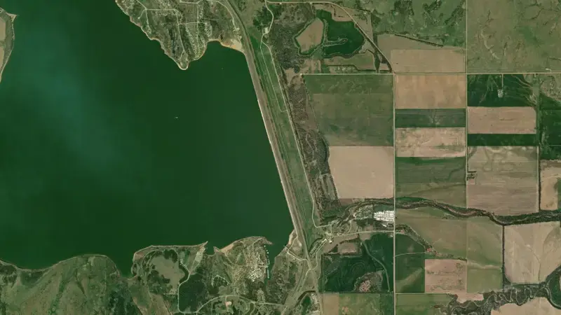
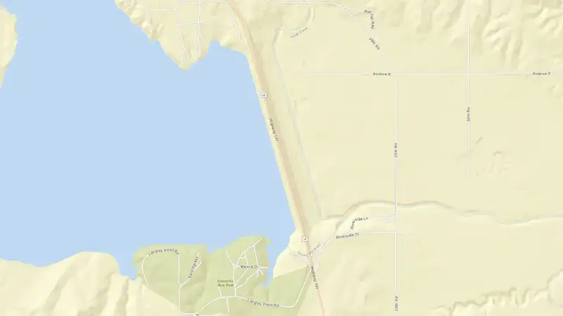
Satellite imagery: Esri, Maxar, Earthstar Geographics. Map: Esri, HERE, Garmin, © OpenStreetMap contributors. 38.616, -97.967 · Open in Google Maps
About Kanopolis Dam & Reservoir
As of July 30, 2026, Kanopolis Dam & Reservoir is filled to 99.8% of its total capacity, holding roughly 76 hm³ of water out of a maximum 76 hm³. At this level the reservoir is high.
Over the most recent week on record the fill level has held broadly steady (-0.1 pts), and it sits close to where it was a year earlier.
Across the readings we hold for Kanopolis Dam & Reservoir — 119 data points between April 1, 2026 and July 30, 2026 — the level has ranged from a low of 71.3% (April 1, 2026) to a high of 105.0% (June 9, 2026).
It is operated by USACE primarily for multiple purposes. It lies within the Kansas basin at 38.616°N, 97.967°W.
Key facts
- Current fill level
- 99.8%
- Water stored
- 76 hm³
- Total capacity
- 76 hm³
- 7-day change
- ▼ 0.1 pts
- Year-on-year
- ▲ 0.9 pts
- Primary use
- Multipurpose
- River basin
- Kansas
- Operator
- USACE
- Coordinates
- 38.616°N, 97.967°W
- Last updated
- July 30, 2026
Recent readings
| Date | Fill level | Volume (hm³) |
|---|---|---|
| 30 Jul 2026 | 99.8% | 76 |
| 29 Jul 2026 | 99.9% | 76 |
| 28 Jul 2026 | 100.3% | 76 |
| 27 Jul 2026 | 100.6% | 76 |
| 26 Jul 2026 | 100.9% | 76 |
| 25 Jul 2026 | 101.4% | 77 |
| 24 Jul 2026 | 101.7% | 77 |
| 23 Jul 2026 | 102.1% | 77 |
| 22 Jul 2026 | 102.5% | 78 |
| 21 Jul 2026 | 103.0% | 78 |
| 20 Jul 2026 | 103.4% | 78 |
| 19 Jul 2026 | 103.8% | 79 |
Frequently asked questions
What is the current water level of Kanopolis Dam & Reservoir?
As of July 30, 2026, Kanopolis Dam & Reservoir is at 99.8% of its capacity, holding approximately 76 hm³ of water, according to USACE CWMS (US Army Corps of Engineers) data.
Is Kanopolis Dam & Reservoir reservoir full?
Kanopolis Dam & Reservoir is essentially full, sitting at 99.8% of capacity as of July 30, 2026.
Is the water level at Kanopolis Dam & Reservoir rising or falling?
The level at Kanopolis Dam & Reservoir has been broadly stable over the latest week on record (-0.1 points).
How much water can Kanopolis Dam & Reservoir hold?
Kanopolis Dam & Reservoir has a total capacity of 76 hm³.
Where is Kanopolis Dam & Reservoir reservoir located?
Kanopolis Dam & Reservoir is located in Kansas, United States, within the Kansas basin (coordinates 38.616°N, 97.967°W).
What is Kanopolis Dam & Reservoir used for?
Kanopolis Dam & Reservoir is used primarily for multiple purposes, and is managed by USACE.